考虑水文趋势影响的珠江流域非一致性洪水风险分析
Non-stationary flood risk analysis in Pearl River Basin, considering the impact of hydrological trends
考虑水文趋势影响的珠江流域非一致性洪水风险分析 |
| 顾西辉, 张强 |
|
Non-stationary flood risk analysis in Pearl River Basin, considering the impact of hydrological trends |
| Xihui Gu, Qiang Zhang |
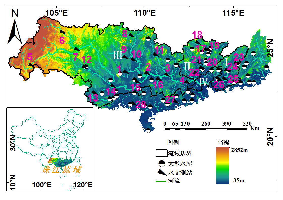
| 图1 研究区域的地形特征和位置。黑色三角形表示水文测站,水文测站用数字标示(表1中显示出数字对应的测站名称)。珠江流域主要的河流:I:东江;II:北江;III:西江;IV:珠江三角洲河网地区。 |
| Fig. 1 The topographical characteristics and location of the study area. Black triangles indicate hydrological stations, hydrological stations are marked with numbers (Tab. 1 shows the numbers corresponding to the stations). The main rives in Pear River: I:East River; II: North River; III: West River; IV: Pearl River Delta. |
|
|